


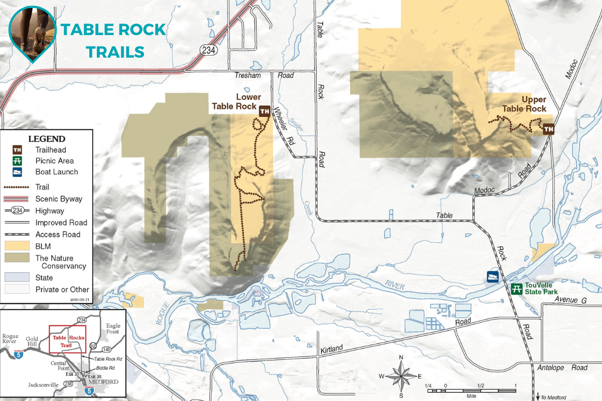
The Table Rocks are one of the most popular hiking locations in the Rogue Valley, with over 45,000 visitors annually. Two trails, Lower Table Rock Trail and Upper Table Rock Trail, were cut across the plateaus' slopes in the early 1980s by the Youth Conservation Corps, Boy Scouts, and the Oregon Department of Forestry.
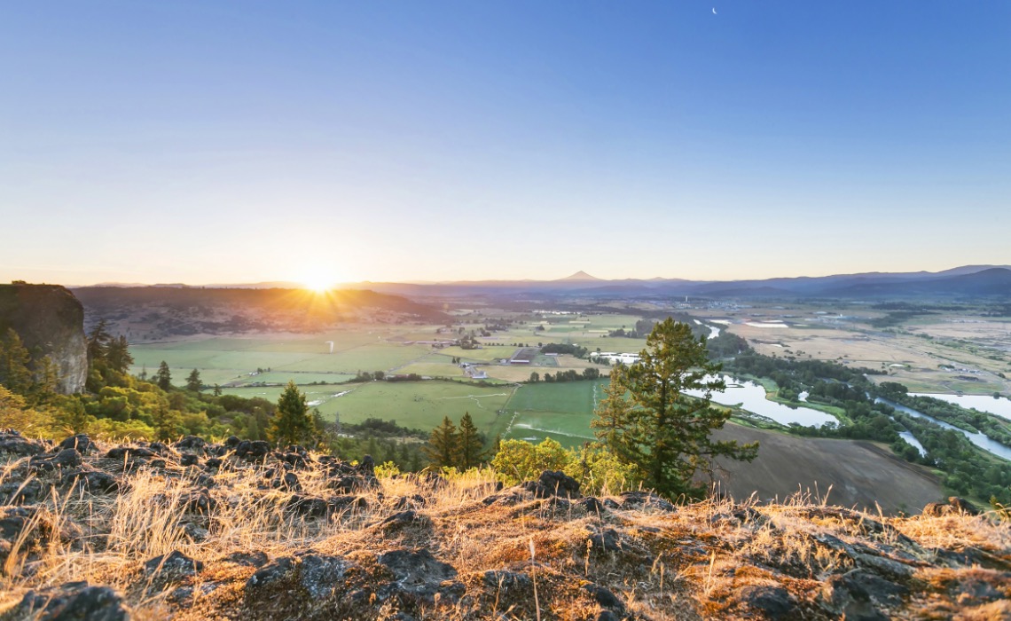
Upper Table Rock also has a walking trail, 1.25 miles long, ascending approximately 720 feet to the top. The trails are the most popular with hikers between March and May, when the wildflowers are in bloom. Another peak occurs in September through October. Landmarks such as Mount McLoughlin, Mount Ashland, Roxy Ann Peak, and Pilot Rock are visible on clear days from the edge of the rocks.
Out & Back: 2.5 miles long.
Skill Level: Easy-Moderate, gaining 720 feet.
Amenities: There are bathrooms at the trailhead. There is no water available along the trail or at the trailhead. Be sure to bring water.
Timing: Allow 2 hours for a round trip hike.
Restrictions: Dogs, horses, fires and flower picking are banned on both Table Rocks trails.
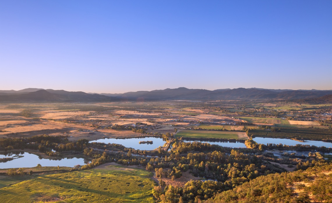
Lower Table Rock features along but less steep walking trail, which climbs approximately 780 feet to the top of the plateau over a distance of 1.75 miles. It has eight interpretive panels along its length, explaining the history, flora, and fauna of the region.
Out & Back: 3.5 miles long.
Skill Level: Easy-Moderate, gaining 780 feet.
Amenities: There are bathrooms at the trailhead. There is no water available along the trail or at the trailhead. Be sure to bring water.
Timing: Allow 3 hours for a round trip hike.
Restrictions: Dogs, horses, fires and flower picking are banned on both Table Rocks trails.
Once a sanctuary for Takelma Indians, Upper Table Rock and Lower Table Rock are two prominent volcanic plateaus located just 5 minutes from Medford in Central Point, Oregon. Created by lava flow approximately seven million years ago and shaped by erosion, they now stand about 800 feet above the surrounding Rogue Valley or 2000 feet above sea level. The Table Rocks are jointly owned; The Nature Conservancy is responsible for 3,591 acres, while the Medford Bureau of Land Management is responsible for 1,280 acres.
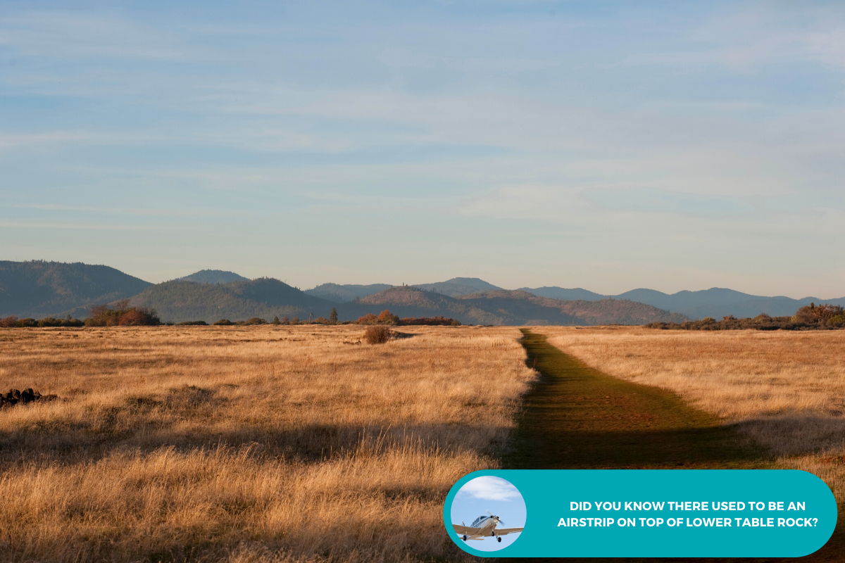
Starting in the mid-19th century during a gold rush, the surrounding area was quickly developed. The Table Rock post office was established in 1872, an airstrip was built atop Lower Table Rock in 1948, view in photo to the left. The Table Rocks were not protected until the 1970s.
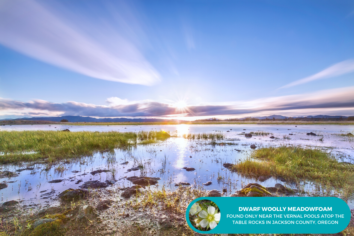
Vernal pools atop the plateaus fill during the rainy season in winter and spring because the andesite is impermeable (See in photo to the right). The dwarf woolly meadowfoam, a species of wildflower, grows around these pools and no where else in the world.
The pools are also one of only a few places where the threatened species of fairy shrimp can be found. To protect these and other threatened species, the Bureau of Land Management has listed the rocks as an Area of Critical Environmental Concern since 1984.
Interestingly, Upper and Lower refer to their location along the Rogue River, not their height. Upper Table Rock, 2,091 feet above sea level at its highest point, is located upstream, while Lower Table Rock is farther downstream, with an elevation of 2,049 feet.
Upper Table Rock: From Interstate 5, take Exit #33 at Central Point. Head east on East Pine Street for 1 mile. Turn north (left) on Table Rock Road. Drive 5.3 miles to Modoc Road and turn north (right). The trailhead is located another 1.5 miles on the left.
Lower Table Rock: From Interstate 5, take Exit #33 at Central Point. Head east on East Pine Street for 1 mile. Turn north (left) on Table Rock Road. Drive 8 miles to Wheeler Road and turn west (left). The trailhead is located another 0.5 mile on the left.
The Table Rocks are a bucket list item in the Rogue Valley. We hope you choose to explore them on your next visit to Southern Oregon. Until then, enjoy this video from Travel Oregon.