
The Rogue River begins at Boundary Springs near Crater Lake National Park and flows about 215 miles (346 km) in a generally westward direction from the Cascade Range to the Pacific Ocean. Known for its salmon runs, whitewater rafting, and rugged scenery, it was one of the original eight rivers named in the Wild and Scenic Rivers Act of 1968. Beginning near Crater Lake, which occupies the caldera left by the explosive volcanic eruption of Mount Mazama, the river flows through the geologically young High Cascades and the older Western Cascades, another volcanic province. Further west, the river passes through multiple exotic terranes of the more ancient Klamath Mountains. In the Kalmiopsis Wilderness section of the Rogue basin are some of the world's best examples of rocks that form the Earth's mantle. Near the mouth of the river, the only dinosaur fragments ever discovered in Oregon were found in the Otter Point Formation, along the coast of Curry County.
Here in the Heart of the Rogue, we are committed to protecting and conserving our environment and land for the enjoyment of present and future generations. Southern Oregon's stunning natural beauty is one of our greatest assets, and we believe in taking action to ensure its preservation. By working together to reduce waste, conserve energy, and protect our forests and waterways, we can ensure that the benefits of our area will continue to be available for all to enjoy. Join us in our efforts to create a sustainable and thriving community here in the Rogue Valley for years to come.

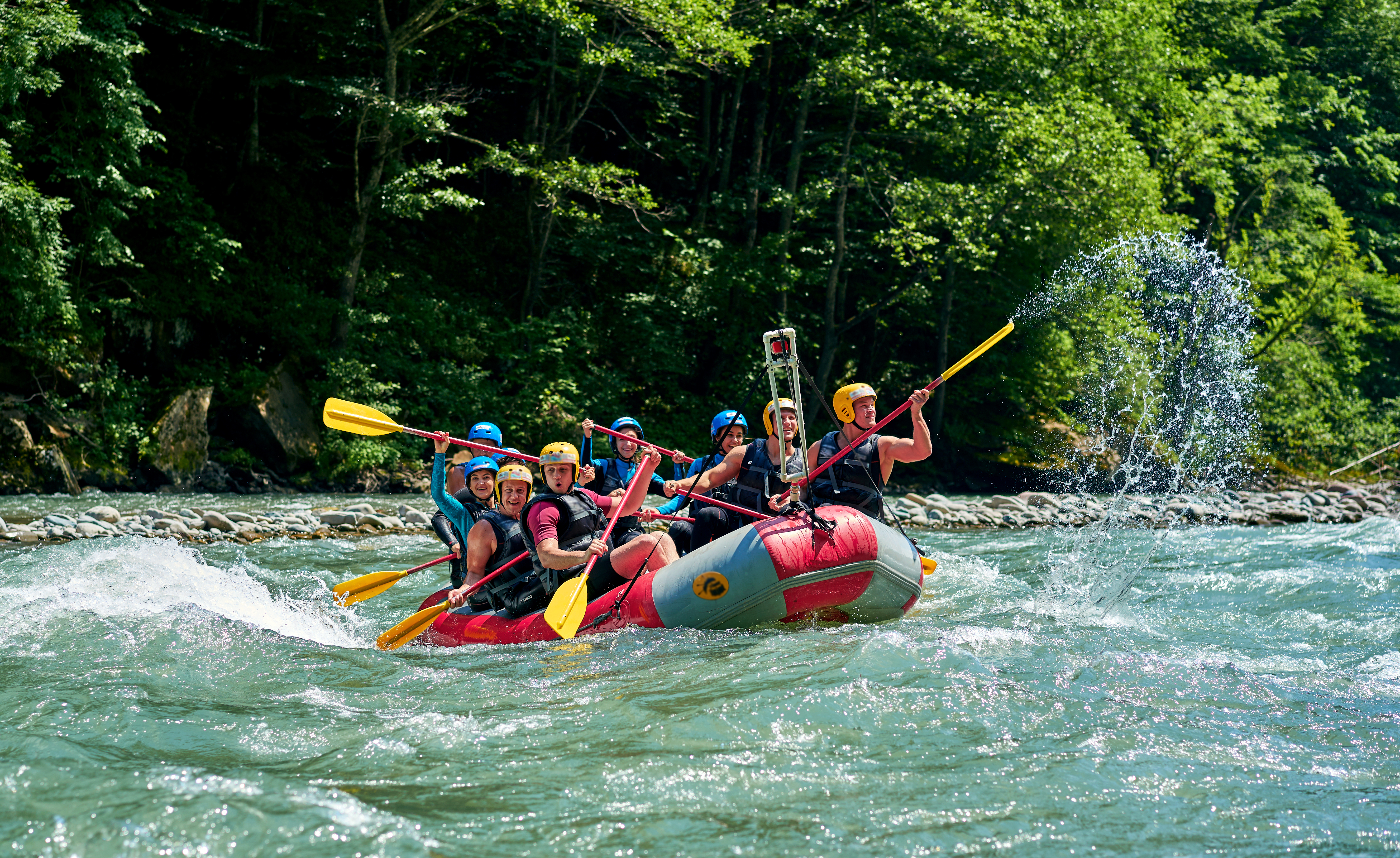
Popular among kayakers and rafters, the Rogue River consists of class one through five rapids separated by gentle stretches and deep pools.
The Upper Rogue section of the river has a plethora of rafting and boating stretches. You can find ramps into the river in Central Point and Gold Hill, as well as longer sections starting in Shady Cove. These are classic floats that are enjoyed by locals and tourists, alike. Be sure to bring a squirt gun, otherwise you might be unarmed in a rafter passerby attack! No permits are needed to float the Upper Rogue areas but there are raft outfitters that can get you all your
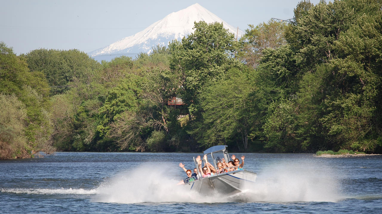
The Wild section of the lower Rogue River runs for 33.8 miles between Grave Creek and Watson Creek. To protect the river from overuse, a maximum of 120 commercial and noncommercial users a day are allowed to run this section. To enter it, boaters must obtain a special-use permit allocated through a random selection process and pick it up at the Smullin Visitor Center, about 20 miles west of Interstate 5 on the Merlin–Galice Road, at the Rand Ranger Station downstream of Galice. Other sections of the river are open to jetboats.

Rogue Jet Boat Adventures
Rogue Jet Boat Adventures is passionate about sharing the historical message of the Table Rock area and combining that message with thrilling jet boating, scenery, wildlife, exploration, and unforgettable memories. We are part of Rogue Discovery Tours which is dedicated to providing high quality, consistent historical and environmental tours.
The Table Rock area holds some of the richest Rogue Valley history along with unparalleled beauty. We strive to perform above our customers expectations and ensure each and every Rogue Jet Boat Adventure customer leaves feeling a new sense of historical connection to the local area we serve.
Rogue Jet Boat Adventures departs from TouVelle State Recreation Site 7 days a week! The season now runs between mid-April through mid-September! Advance Reservations Required: All tours operated by coast guard certified pilots

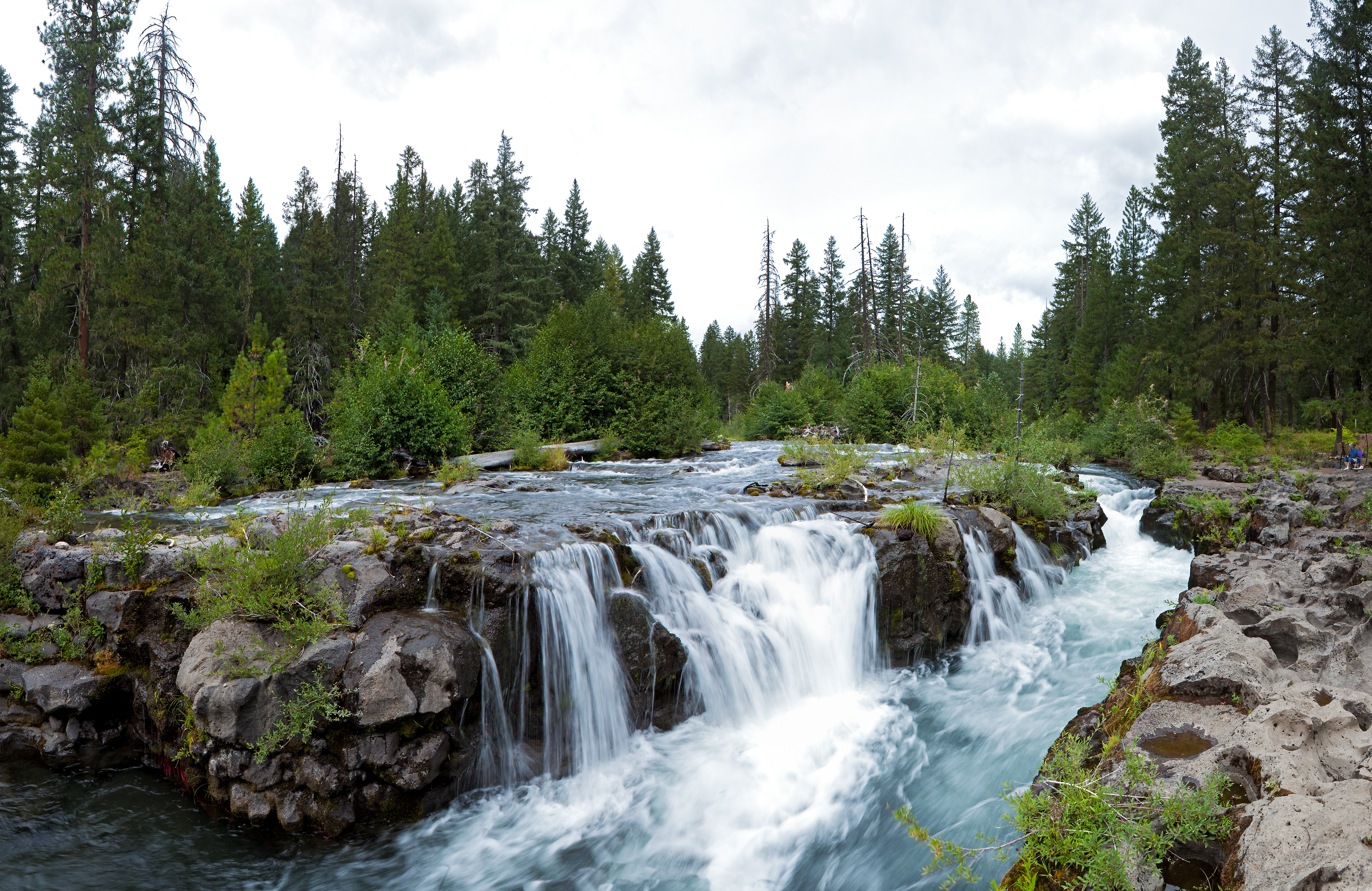
The Upper Rogue River Trail, a National Recreation Trail, closely follows the river for about 40 miles from its headwaters at the edge of Crater Lake National Park to the boundary of the Rogue River National Forest at the mountain community of Prospect. Highlights along the trail (view in photo to right) include a river canyon cut through pumice deposited by the explosion of Mount Mazama about 8,000 years ago; the Rogue Gorge, lined with black lava, and Natural Bridge, where the river flows through a 250-foot lava tube. Between Farewell Bend and Natural Bridge, the trail passes through the Union Creek Historic District, a site with early 20th-century resort buildings and a former ranger station that are listed on the National Register of Historic Places.
The Lower Rogue River Trail, a National Recreation Trail of 40 miles, runs parallel to the river from Grave Creek to Illahe, in the Wild Rogue Wilderness, 27 miles northwest of Grants Pass. The roadless area through which the trail runs is managed by the Siskiyou National Forest and the Medford District of the federal Bureau of Land Management and covers 224 square miles including 56 square miles of designated federal wilderness. Backpackers use the trail for multiple-day trips, while day hikers take shorter trips. In addition to scenery and wildlife, features include views of rapids and "frantic boaters," lodges at Illahe, Clay Hill Rapids, Paradise Creek, Marial, and the Rogue River Ranch and museum. Hikers can take jet boats from Gold Beach to some of the lodges between May and November. The trail connects to many shorter side trails as well as to the 27-mile south of Agness. Hikers can also take trips along the Rogue that combine backpacking and rafting.
Rogue River Trail 1168 continues west 12 miles along the north side of the river from Agness to the Morey Meadow Trailhead. Forest Road 3533 provides a hiking route between the trailhead and the Lobster Creek Bridge, 5.8 miles further west. The Rogue River Walk is about a 6-mile trail along the south side of the river continues west to a trailhead about 4.7 miles east of Gold Beach.

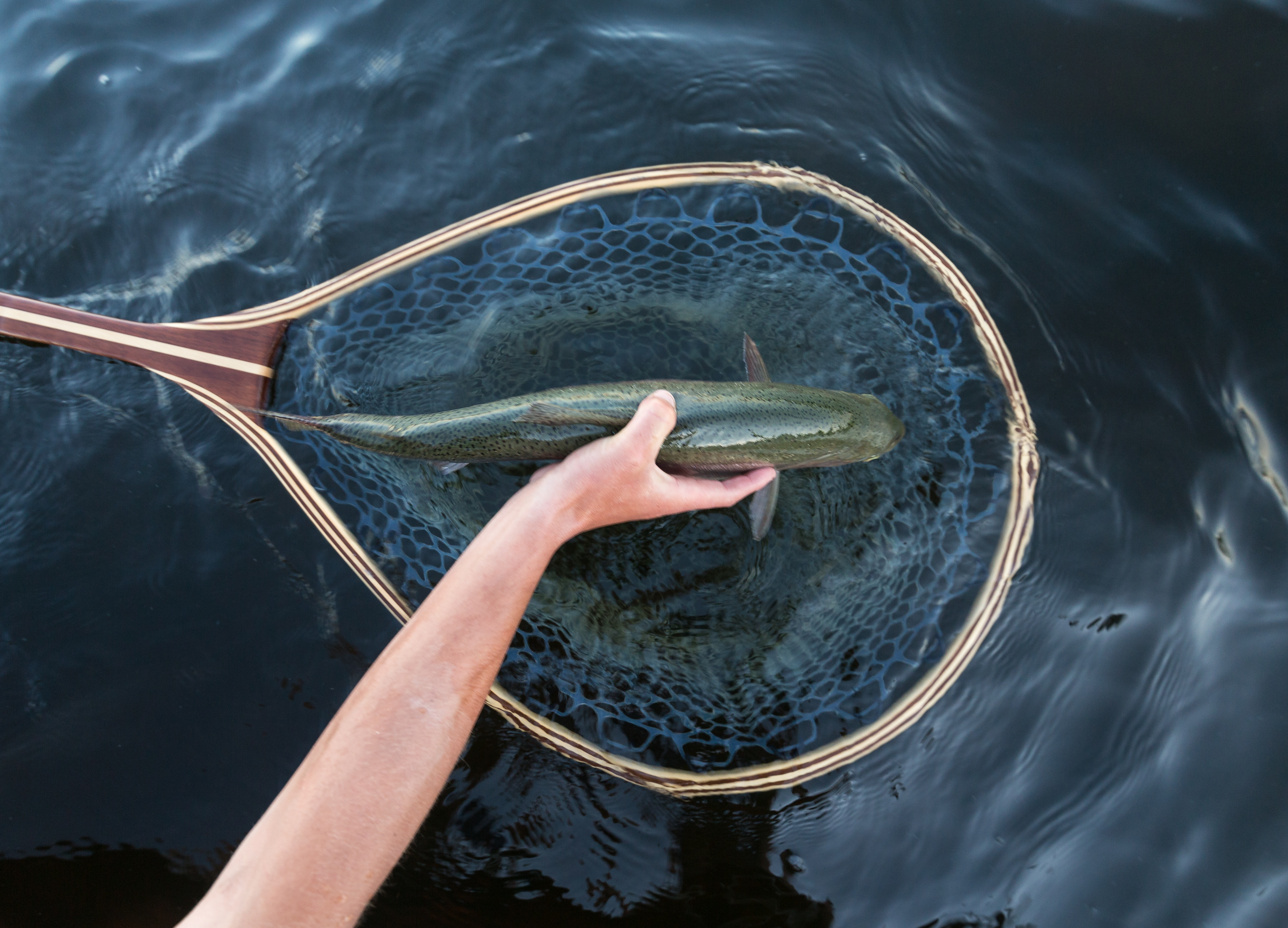
Sport fishing on the Rogue River varies greatly depending on the location. In many places, fishing is good from stream banks and gravel bars, and much of