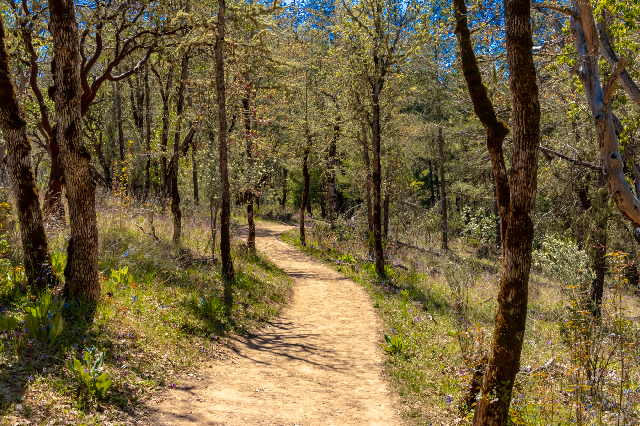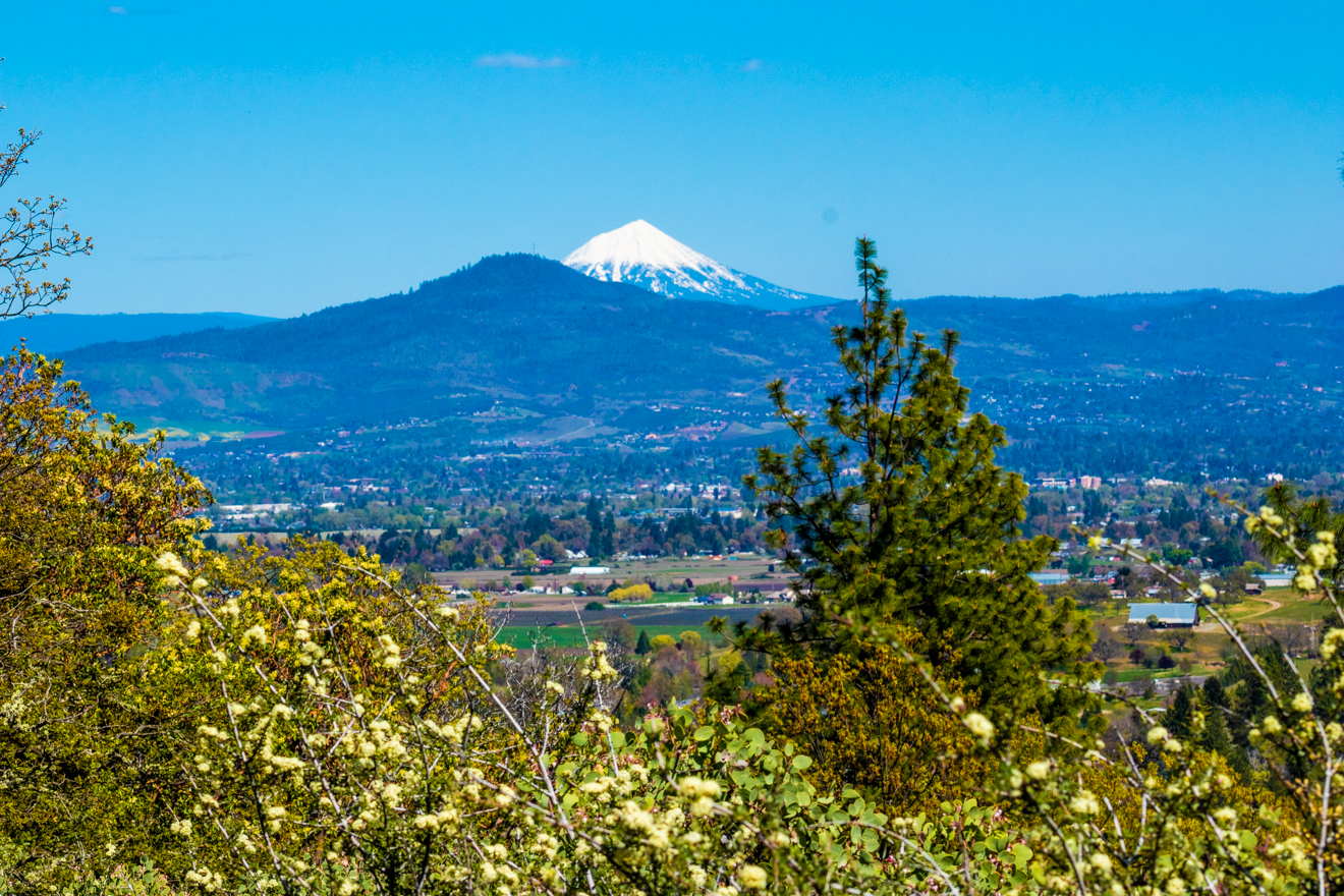


This unique trail system is bountiful with beautiful nature and lovely views of the historic town of Jacksonville. These trails have something for everyone, with a pick-your-adventure system of trails to customize your experience every time.
There are several places within the system's 16 miles of trails to begin your hike, but the best is the trailhead along California Street near the historic Britt Gardens. From there you will start at the Sarah Ziglar Trail, a National Recreation Trail. At the trailhead, you will find paper maps along with other signage and information to plan your day, and if it's your first time, you won't want to miss Panorama Point for epic views!
After you’ve grabbed your map, continue along the Sarah Zigler Trail following the historic Jackson Creek, the site of the area's 1852 gold rush. On the north-facing hillside, you’ll find a diverse arrangement of native plants, including the endangered Gentner's Fritillaria. Be sure to check out the historical signage along the way to soak in the history of the Rogue Valley and its rise as a bustling mecca of wine and things to do.
Enjoy an array of wildflowers on your hike, including white fawn lilies, purple shooting stars, and of course the red endangered Fritillaria. With historic mining sites, beautiful views, and unique flowers, the Jacksonville Woodlands are the perfect place to soak in nature and enjoy a day as long or short as you'd like it!
Jacksonville Woodlands Trails System
Difficulty: Easy to Moderate
Average Distance: 3.5 miles, 400 feet elevation gain (varies based on route)
Restrooms: Public restrooms are available in the parking lot near the Jacksonville Library
Optimal Season: Year-round, weather permitting

This lovely system of trails is perfect for mountain biking, trail running, family hikes, picnics at the top, dog walking and so much more! Soak in unique species of wildflowers around you, and enjoy the shade from the large forest surrounding you. In the summer months, practice caution by watching for ticks and poison oak off-trail, and slick trails in the winter months. Perfect for any skill level, enjoy this beautiful hiking location at any time of the year!

Take Oregon Highway 62 (Crater Lake Highway) west until it turns into Rossanley Lane (Highway 238). Continue 2.2 miles and turn left onto Hanley Road (Highway 238 continued). Follow Highway 238 for 2.8 miles through Jacksonville. Turn right on East California Street (Highway 238 continued). Pass through the intersection at North Oregon Street and immediately turn right to the public parking area near the Jacksonville Library. Once parked, follow the footpath back toward California Street & cross at the crosswalk to find the trailhead.
Ready for more adventure? Whether you choose to trek the trails, enjoy an indoor piece of paradise, or pair the world's best cheese with double gold wine - the Heart of the Rogue is your launchpad to everything southern Oregon!